
Campsite no. 1. We got up at 6:00
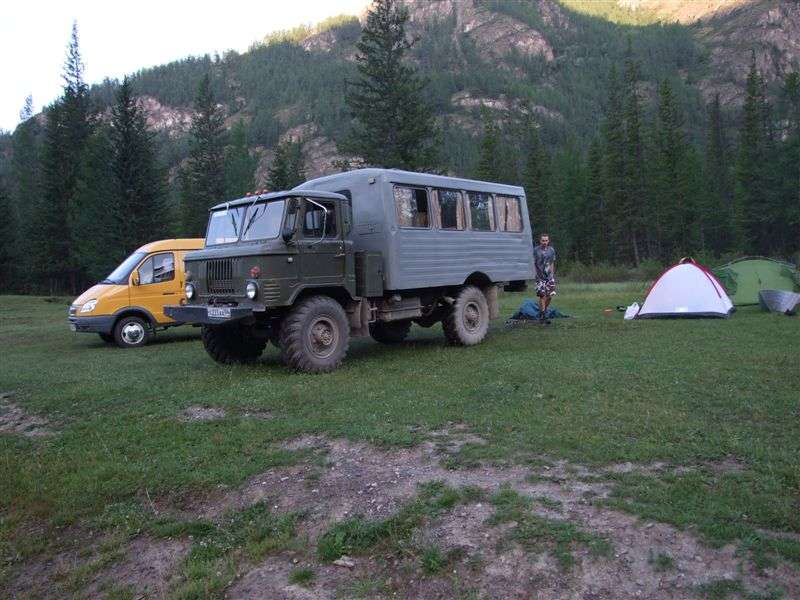
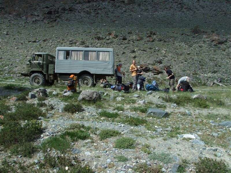
Our GAZ-66.
From Wikipedia:
GAZ-66 is a Russian 4x4 all-road (off road) military truck produced by GAZ. It was the main transport vehicle for motorized infantry of the Soviet Army and is still employed in former Soviet Union countries. Nicknamed shishiga (шишига) shehsherik (шешерик) trueman (in Siberia).
The Gaz-66 has gained legendary status in many countries around the world due to its reliability, simplicity and off-road capability. Thanks to standard features such as a front mounted winch, Central Tire Inflation System (CTIS) and self locking differentials the Gaz-66 is extremely popular with armed forces all around the world as well as off-road enthusiasts. Production ceased in 1999, instead GAZ produces the GAZ-3308.
We left the place at 7:30.
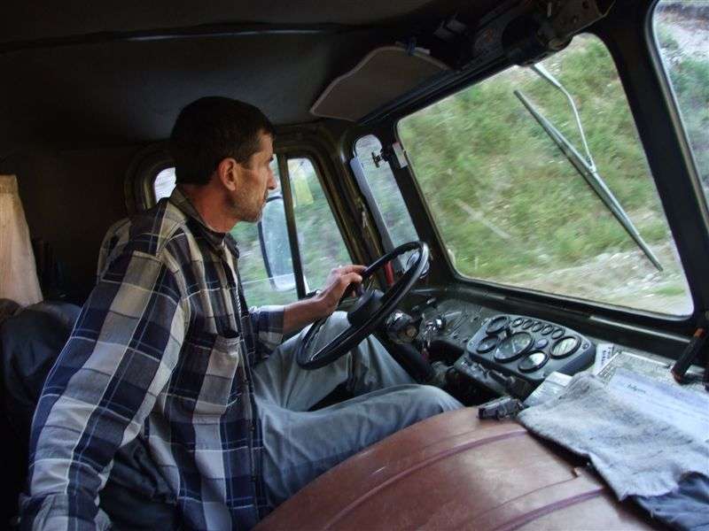
Our driver
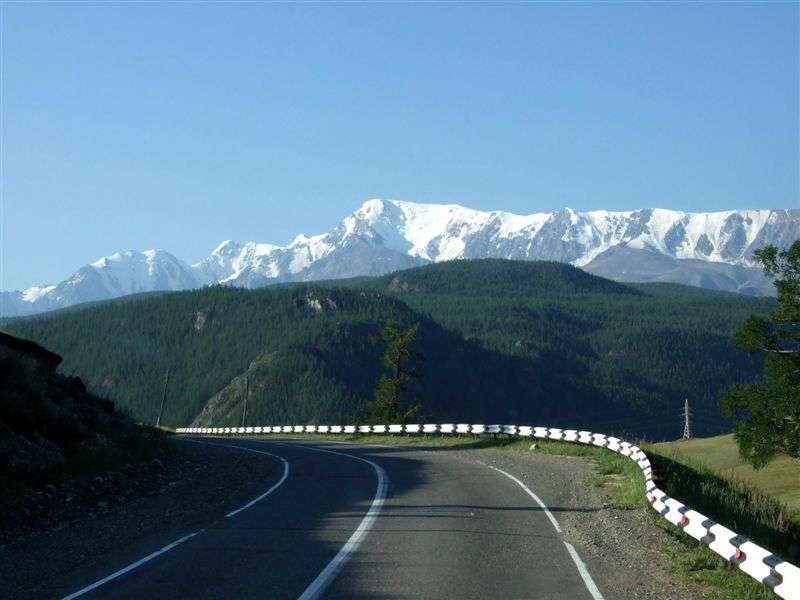
En-route to Kosh-Agach: the Aktru-mountains in the background
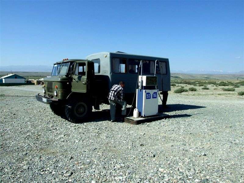
Petrol station at Ortolik. The vehicle needs about 35 liters/100 km, off-road more....
...but it needs 80-octan petrol, which wasn't available at this petrol station. So we drove 10 km further to Kosh-Agach, were we finally got what we needed.
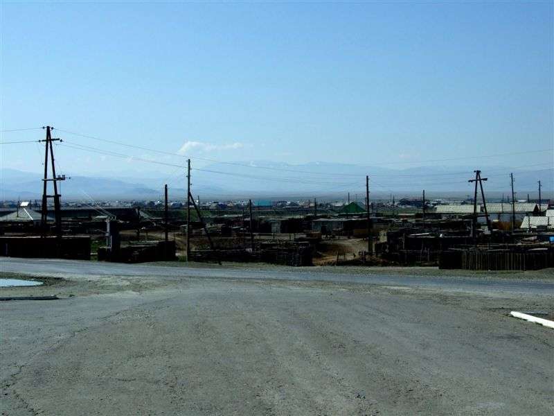
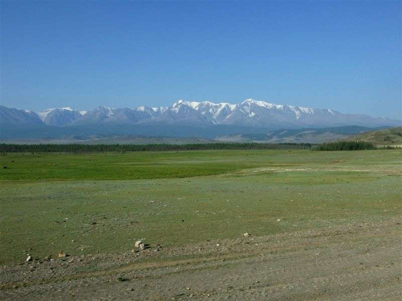
At Kosh-Agach. The mountains in the background are already in Mongolia.
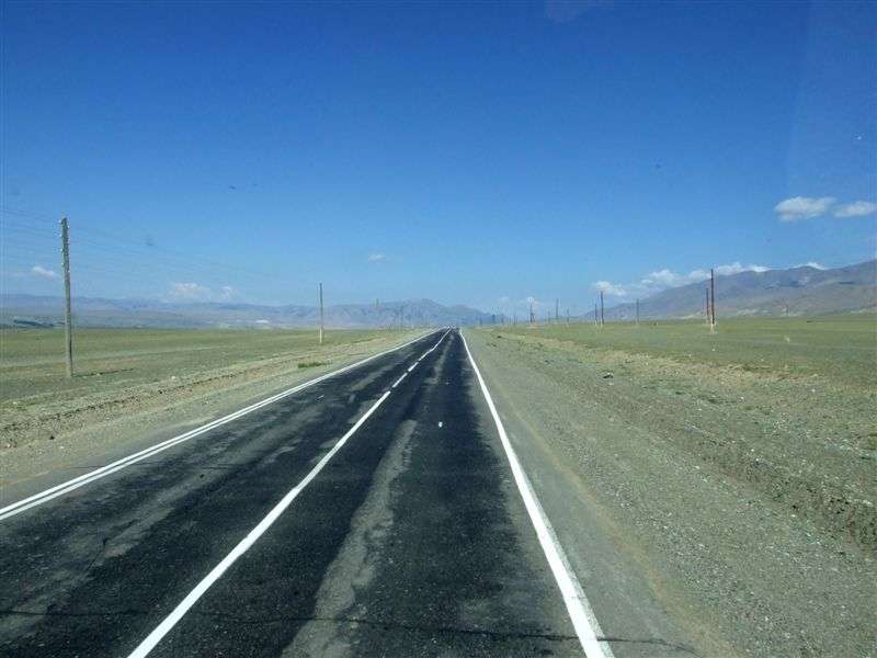
M52-road near Kosh-Agach
We drove back to Ortolik, where the 29-km long branch road to the village Beltir leaves the M52. Till Beltir a normal car can go, but we continued even further to the Taldura valley.
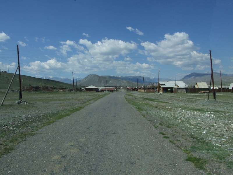
Beltir
In the Taldura valley.
After some 20 more kilometers our driver said, that it's not possible to continue further.
So we get off and unloaded our backpacks. The altitude here was already about 2150m.
Here you can see, how the GAZ-66 leaves us:
http://www.youtube.com/watch?v=qXeSaM41gTA
We started our hiking trip at 14:10.
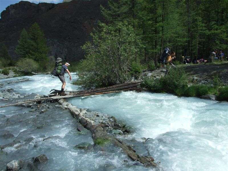
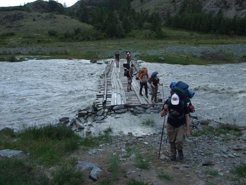
This "bridge" over the Mohroojuk river (a side-river of the Taldura) was the first excitment ;-)
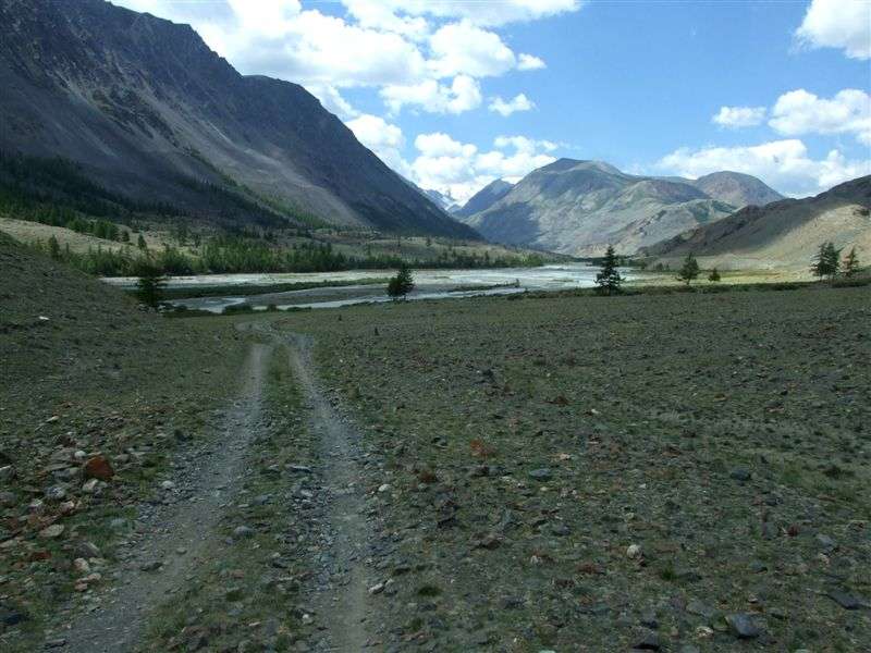
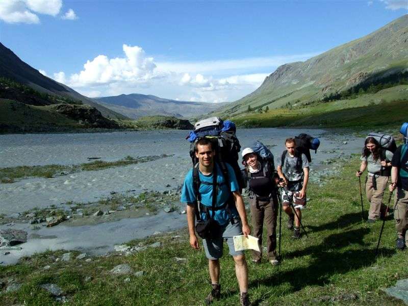
In the Taldura valley
Bridge over the Taldura river
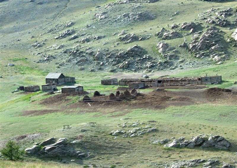
Settlement of the local farmers, living here all-year round.

Most of us weren't used to walk with heavy luggage, so our walking speed wasn't so high.
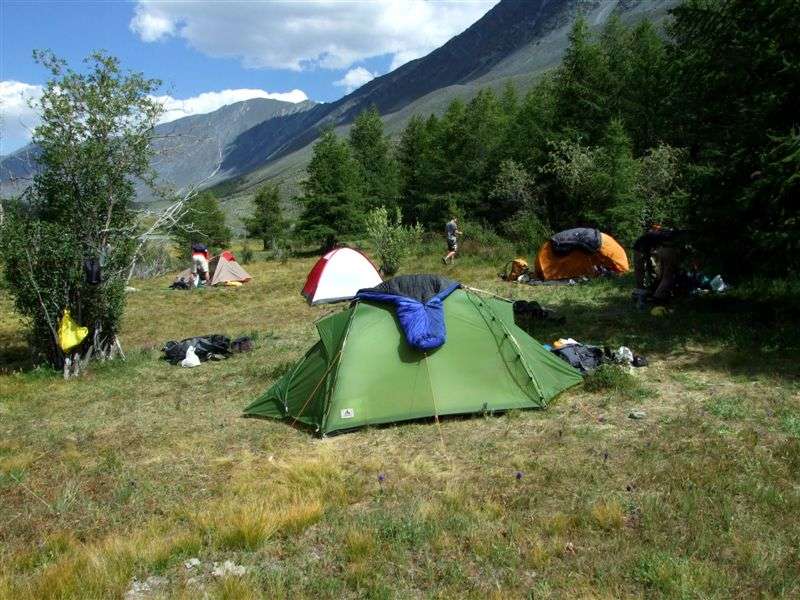
At 19:00 we found a suitable place for tents next to the river to stay overnight.
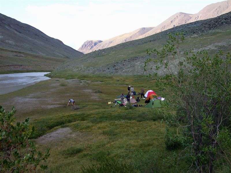
Campsite no. 2
Day walking distance: ~ 7 km
Altitude difference: 2150m -> 2300m
Thursday, 31st july 2008

Temperature in the morning was below zero, there was some ice on the water of a small stream..

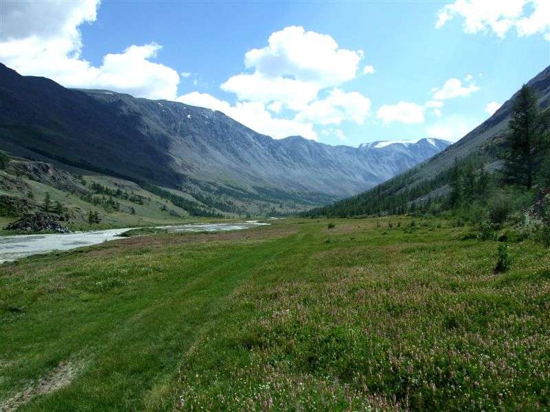
We continued following the Taldura river upstream

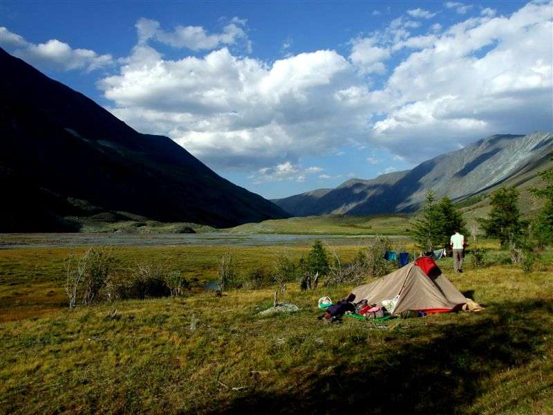
At the place where the climbing up to the Leningradskij-pass starts, we built up our tents at lunchtime.
Campsite no. 3.
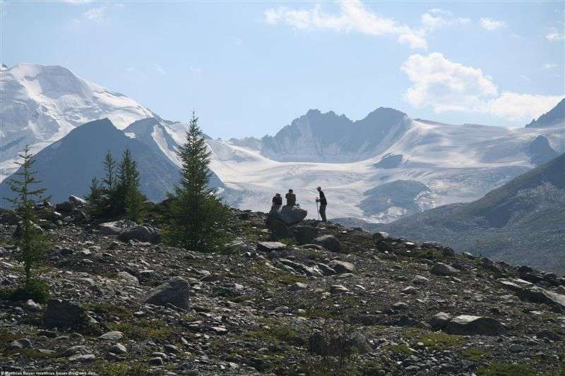
In the afternoon some of us continued further without backpacks to get more closer to the Taldura-glacier and the mountains.

View up to the gorge, through which we would have to go the next day.

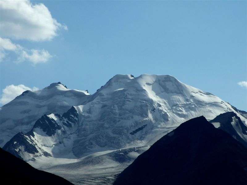
Mountain IIktu (right, 3936m)
(Photo: Matthias Bauer)
Back at the campsite.
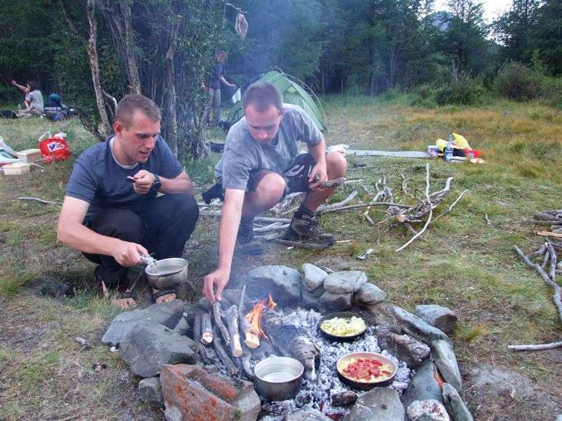
Dinner!
Day walking distance:
Campsite 2 (2300m) - campsite 3 (2330m): ~4,5 km
afternoon excursion:
campsite 3 - unnamed place (~2400m) - campsite 3: ~6,5 km
Keine Kommentare:
Kommentar veröffentlichen